




Tap to Map — Indoor wayfinding for visually impaired during tornado shelter events
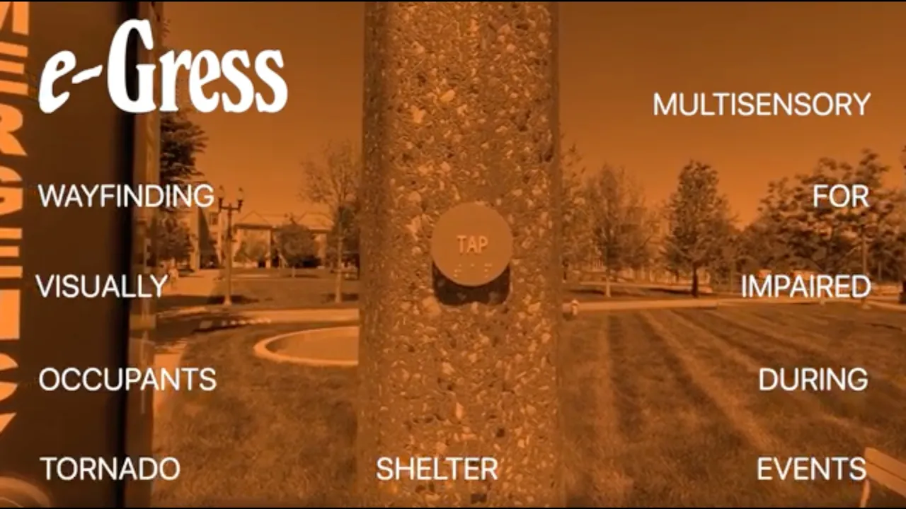
Tap to Map is concept project designed to help individuals who are blind or visually impaired familiarize themselves with evacuation routes for tornado shelter events. It works by breaking routes into clear, distinctive chunks encoded in physical landmarks with bluetooth beacons and NFC tags. I owned user research, concept, and mobile prototype.
Role
UXR
Concept
Prototying
Timeline
Spring 2026
3 weeks
Tools
Figma
Claude Code
Cursor
Team
5 designers

Challenge
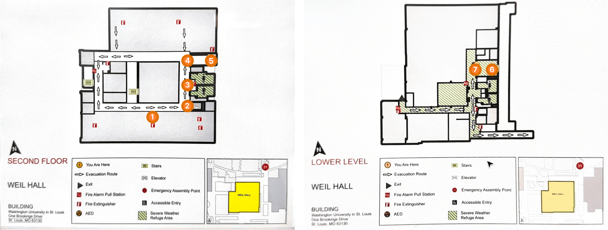
Current evacuation maps in Weil Hall are flat and visual, so they don't help people who are blind or have low vision.
Weil Hall's evacuation maps are flat printed pages posted in exit stairways, which are hard to find in the first place. During a tornado warning, someone who can't see the map has to get to shelter through a building they may not know well under stress.
- Tommy Edison, blind accessibility advocate
Solution
Tap to Map: an offline, audible map with tactile landmarks along route
Designed to help individuals who are blind or visually impaired familiarize themselves with evacuation routes for tornado shelter events and reduce cognitive load under stress.
Core Features
Tactile landmarks along the route
Bluetooth beacons + NFC tags encased in brightly-colored braille landmarks splitting the route into short steps that are easy to remember.
Turn-by-turn spoken directions
Getting closer to a landmark reads directions out loud at a speed the user can adjust.
Haptic Feedback
Bluetooth beacons make the phone vibrate as the user gets close to the next tap point, so they know they're heading the right way.
Mobile App
Offline mobile app designed for all
No need to ask or locate maps in the building. An offline portable map is available in your pocket to navigate right away. Repeat directions when needed.
Multi-sensory map that turns with you
No need to decode a legend or rotate the map in your head
Research
What makes indoor navigation challenging for those visually impaired?
I researched why indoor navigation is inaccessible and reviewed existing solutions such as tactile maps, and audited Weil Hall's current maps against official FEMA and Red Cross accessibility guidelines for extreme weather events. This gave us 3 key takeaways that guided our design decisions:
GPS fails indoors
Walls and floors block and reflect signals, so phone navigation can't be trusted inside a building.
Current maps take effort to find & understand
They're flat, hard to find and decode which slows down even sighted people in an emergency.
Practice is the protocol
FEMA and The Red Cross recommends practicing exit routes twice a year, so the most useful tool would help people learn a route before an emergency.
Design Process
Chunking the evacuation route in Weil Hall
After auditing Weil Hall's evacuation protocol and map by physically walking through it, we selected one sample route—second floor classroom to the refuge area in the basement—to develop a functional prototype. We then divided the route into 7 smaller chunks and planned where the physical tags would be placed along the wall.
Designing 3D-printed case with braille
Giving tactility to landmarks was important to help our users locate them. We designed and 3D-printed cases for NFC tags containing directions.
Encoding landmarks with turn-by-turn directions
Text directions were converted to audio via text-to-speech. To ensure precise language and instructions, we referenced online guides with auditory navigation best practices.
Rapid Prototyping with Claude Code
To test haptic cues, bluetooth beacon proximity recognition, and NFC interaction, we built a functional prototype using Claude Code.
Working with technical constraints for proof-of-concept
To keep the prototype fully functional for demonstration, we used NFC tags as a low-cost stand-in for our intended technology. However, NFC requires precise tapping within a small range, which we expect would be a barrier for blind users, especially under stress. In a production version, Bluetooth beacons would detect proximity automatically, removing the need to tap at all.

Takeaways & Next Steps
Technical constraints shape the design solution.
Because GPS couldn't be trusted indoors, and computer vision and AI requires more computing power, we turned to physical cues which became the core of the idea. Only when we researched existing limitations and asking "how come this doesn't exist yet?" could we move forward with designing.
Design with the people you're designing for.
Since this was a 3-week project with a proof-of-concept as the deliverable, we have yet to test it with real users. Our next steps are:
Walk the Weil Hall route with blind and low-vision participants and see where they hesitate
Test whether a route learned ahead of time is still remembered weeks later
Have an orientation and mobility specialist to review the wording of the audio directions